The Met Office has issued a rare warning about dangerous freezing rain set to hit Britain in the coming days, as temperatures plummet across the country.
The unusual weather phenomenon, which turns to ice immediately upon hitting surfaces, is expected to cause hazardous conditions throughout the weekend and into early next week.
The combination of unusually low temperatures from the north and east, meeting wet weather from the Atlantic, has created conditions perfect for freezing rain formation.
Meteorologists warn the icy conditions could pose significant risks to drivers, pedestrians and air travel, with the potential to bring down trees and power lines.
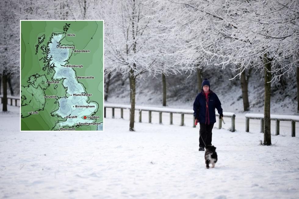
The UK could be hit with freezing rain over the weekend
WXCharts/Getty
The freezing rain will particularly impact northern England, coinciding with widespread snow and sub-zero temperatures forecast across multiple regions.
From 3pm on Saturday, snowfall of up to 0.6cm will blanket Manchester, Lancashire, Cumbria, and parts of western Scotland and the Highlands.
By 9pm, heavier snow of up to 1cm per hour is expected to hit the Pennines, Lincolnshire, and multiple regions across Scotland, including the central belt and Inverness.
Weather maps indicate snow depths could reach between 2cm and 4cm across the Pennines by midnight on February 16.
A massive snow front stretching from Edinburgh to Manchester is predicted to bring up to three inches of snow in some areas.
The snowfall is expected to become more scattered by Sunday, though eastern Scotland, the Central Belt and Inverness will still face heavy flurries.
LATEST DEVELOPMENTS
A rare red warning was issued in January
Getty
Temperatures are set to plummet
WXCharts
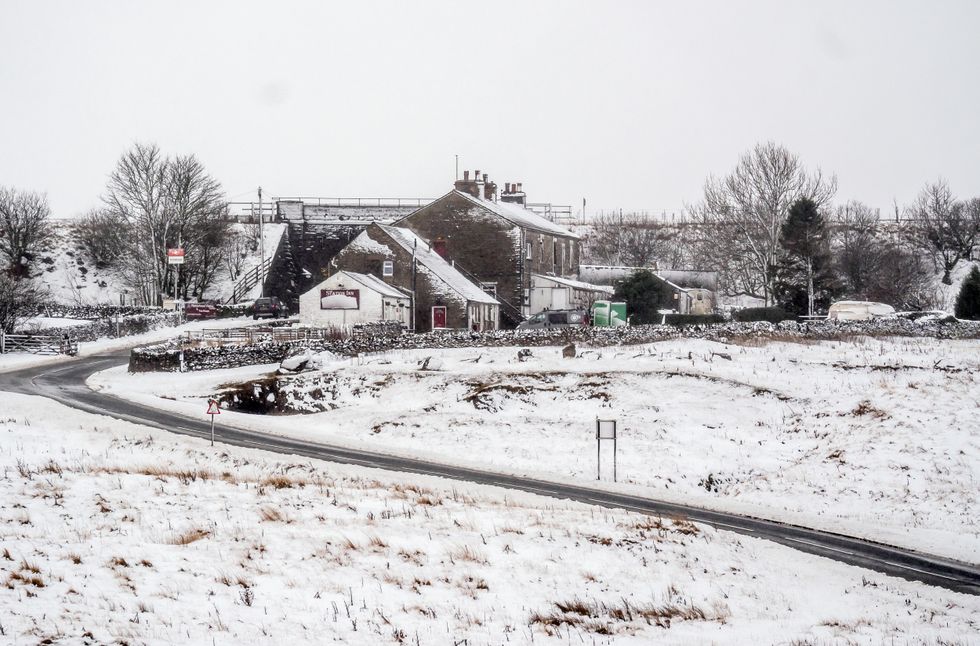
 Snow in Yorkshire earlier this monthPA
Met Office meteorologist Alex Burkill explained the dangerous mechanism behind the freezing rain: “We have something a bit warmer coming in, but underneath it closer to the surface, we have some colder air plunging through, and now that’s important because it brings the risk of some freezing rain.”
“It can cause some very icy conditions and could cause some problems,” he warned.
The Met Office website notes that the phenomenon is more common in the United States, where it’s known as ice storms.
The weight of accumulated ice can be severe enough to break trees and power lines, while creating hazardous conditions for aircraft.
Roads and pathways effectively become ice rinks when affected by freezing rain.
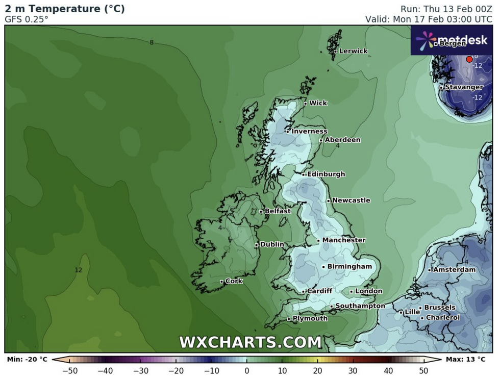
Temperatures are set to plunge dramatically, with Aberdeenshire expected to hit -5C on Sunday into Monday, whilst parts of the Highlands will see -4C.
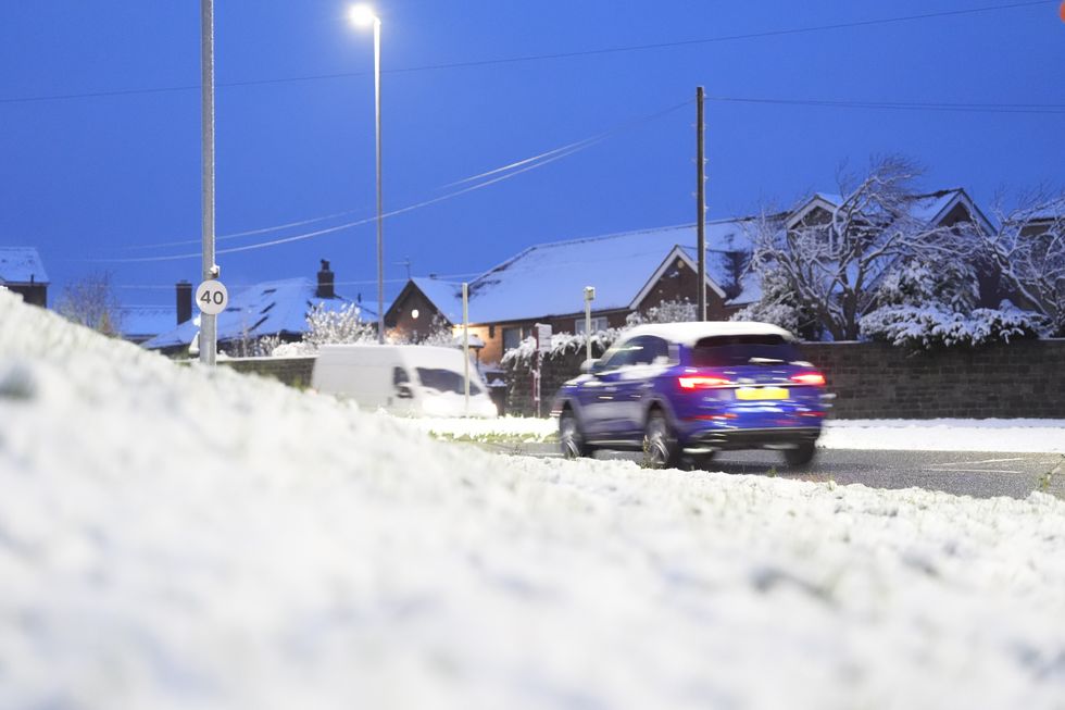
 Large parts of the UK are facing heavy snow and freezing rainPA
Coastal areas of England will experience the highest temperatures, with Cornwall and Suffolk reaching 5C.
The Met Office’s long-range forecast indicates below-average temperatures will persist, with continued risk of wintry conditions.
Deputy Chief Meteorologist Mike Silverstone said: “The cold air will once again push in from the east on Sunday, covering much of the UK by Monday.
“We could see some low overnight temperatures with further frosts, but it will be mostly dry with little chance of further snow.”