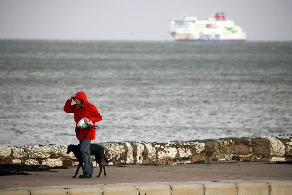
The Met Office has issued a wind warning across parts of Northern Ireland, with the potential for disruption and gusts of up to 80mph expected in some areas.
The yellow warning will come into force from 12am on Friday and will be in place until 12pm on Saturday, covering the whole of Northern Ireland.
It comes as a “weather bomb” is set to bring strong winds, heavy rain and some snow when it reaches the UK later this week.
News Catch Up: Monday 20th January
A “weather bomb” occurs when central pressure inside of a larger low pressure system falls at a rapid rate over 24 hours, creating a peak of violent winds that are strong enough to bring down trees and cause structural damage, according to the Met Office.
The Met Office said that the first half of the week will be “benign” with grey, cloudy weather and outbreaks of rain for much of the country before the arrival of more unsettled conditions from Thursday, the forecaster said.
In a statement the Met Office said: “A deep area of low pressure is expected to pass close to or across the northwest of the UK on Friday and Saturday.
“It will bring a spell of very strong southeasterly to southwesterly winds with gusts reaching 50-60 mph inland and 70-80 mph along coasts (and perhaps higher than this in a few locations). The wind strength will gradually ease through Saturday from the south.”
The forecaster warned that the wind will also be accompanied by heavy rain bringing some unpleasant conditions to end the week.
The Met Office added that the conditions may bring some delays to road, rail, air and ferry services, with longer journey times and cancellations possible.
The weather service also warned about the potential of power cuts, as well as injuries and danger to life from flying debris and large waves.
A yellow wind warning covering half of Scotland, including Glasgow, is also in place from 12am on Friday to 12pm on Saturday.
The change to conditions is being caused by a powerful jet stream pushing the low pressure across the Atlantic and towards the UK, following a recent cold spell over North America, the Met Office said.
An initial front will bring heavy rain eastwards on Thursday, with 20 to 30mm of rainfall likely across North Wales and north-west England, while some hill snow is possible over the Scottish mountains.
The “weather bomb” will develop while still out over the Atlantic on Thursday and will be “a mature feature” when it arrives in over the UK on Friday, the Met Office said.
They advised securing loose items outside the home, including bins, garden furniture, trampolines and sheds, and gathering torches and batteries in case of any potential power cut.
Another area of low pressure could bring further wet and windy conditions once the previous system has weakened on Sunday.
There is the potential for a named storm or further weather warnings over the weekend and throughout next week, the forecaster added.
