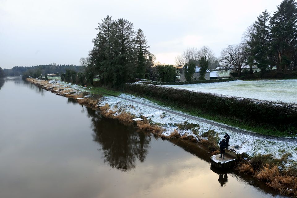
Several snow-ice warnings have been issued as temperatures plummet across the island of Ireland this weekend.
An orange-level snow-ice warning in place for counties Carlow, Kilkenny, Wicklow, Clare, Limerick, and Tipperary for 24 hours from 5pm on Saturday.
Significant snowfall accumulations are expected in these areas, forecasters at Met Eireann said, creating difficult travelling conditions and poor visibility.
We need your consent to load this Social Media content. We use a number of different Social Media outlets to manage extra content that can set cookies on your device and collect data about your activity.
A status yellow snow-ice warning is in place for all counties in Leinster and Connacht, as well as Cavan, Donegal, Monaghan, and Waterford for 24 hours from 5pm on Saturday.
A status yellow rain and snow warning is in place for Cork and Kerry from 1pm on Saturday until 5pm on Sunday.
Forecasters have said that depending on snow accumulations on Monday, schools could remain closed as the sub-zero temperatures stretch into next week.
A status yellow ice warning is in place across Northern Ireland, bar counties Fermanagh and Armagh, from 4pm on Friday until 10am on Saturday.
A Met Office alert for icy surfaces is in force from 4pm on Friday until 10am on Saturday, which it said could lead to difficult travel conditions and injuries from slips and falls.
People are being urged to take care on the roads during the cold snap and to check in on elderly and vulnerable people.
Met Eireann forecaster Gerry Murphy said conditions had taken a “cold and sharp” turn and people should expect a “multi-hazard weather event” over the weekend and into next week.
He said there would be sleet and snow in many areas on Saturday evening and into Sunday.
The warning is in place for the whole of the island of Ireland (Liam McBurney/PA)
“It will most likely fall as rain down the south coast but it must be said that the amounts of rain expected in the south and south-west are quite high, so it’s likely that we will see rainfall warnings, at least, in the south-west of the country,” Mr Murphy told RTE’s Radio One.
“Then, as that rain pushes up through the afternoon/evening, it turns more to sleet, as you go in the hours of darkness then turning more to snow – currently, it looks like – predominantly over the southern half of the country.
“Then over much of the Midlands, the west, perhaps tomorrow night early on.
“Counties in the north-east mightn’t fare too badly because there is an easterly wind.
“It’s very difficult to pinpoint but really as we go through tomorrow night into Sunday all areas can expect sleet or snow at some stage.”
Mr Murphy said it would not be clear until the weekend whether schools would open on Monday when they can see how much snow has accumulated.
“There are likely to be accumulations of snow in places on Monday morning coupled with a very severe frost as well.
“So there is the possibility that schools may not open but that will become more apparent as we go through the weekend.”
He said into next week, low temperatures will continue which will make it difficult for snow to melt.
