Blazing fires driven by scorching winds will battle tornadoes as the United States braces for a twister-wildfire double assault.
Southern states have been pushed to ‘critical fire’ point as humidity plunges in arid gusts from the tropics.
Tussling vortex winds and volatile air masses will also put the region on alert for a spate of tornadoes.
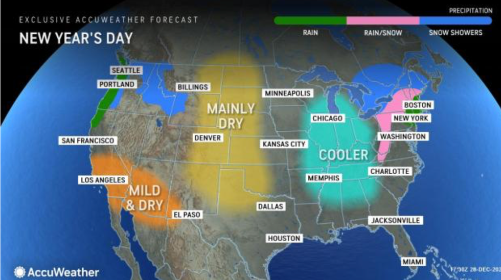
It comes as eastern, central and southern regions are hit by a freak winter heat blast pushing temperatures into the 80Fs.

Tussling vortex winds and volatile air masses will also put the region on alert for a spate of tornadoes
Accuweather
A spokesman for the US National Weather Service said: “Much above-average temperatures will persist from the Central to Eastern thirds of the country until Tuesday.
“Widespread minimum temperatures may be tied or broken across the northeast, and dry, windy and mild conditions in the southern plains will support a critical risk of fire weather.
“Heavy rain and scattered to severe thunderstorms, capable of producing tornadoes, damaging wind gusts and hail are possible from the eastern Gulf Coast northward into the Carolinas.”
The NOAA has issued ‘Urgent’ ‘Fire Weather Watch’ alerts across Texas, New Mexico, Kansas, Colorado, Carolina and Georgia.
Separate Tornado warnings are in force in Georgia, Florida and Alabama where strong winds threaten coastal overtopping.
Both weather hazards will meet across Northern and Central Georgia which is under a raft of tornado, fire and thunderstorm warnings.
Thrusts of warm dry air from the south and hot humid air from the Gulf of Mexico will drive the assault.
Jim Dale, US meteorologist for British Weather Services and co-author of ‘Surviving Extreme Weather’, said: “Tornadoes are unusual for this time of year, but not unheard of, and there have been some massive ones that have struck during December.
“They are the result of the warm, humid air, while the fires are the result of warm dry air.
“Where these two air masses meet, there is the risk of deep instability, and this will drive stormy and volatile weather.”
Fortunately, moisture and rain from the tornadoes will douse flames at the collision point.
Dale said: “The wildfire risk is largely to southern and central regions, where the air is dry, while the tornadoes will bring moisture.

It comes as eastern, central and southern regions are hit by a freak winter heat blast pushing temperatures into the 80Fs
Accuweather
“The associated rain will probably put out any fires where they happen together.”
Wind speeds during the most powerful thunderstorms could touch 70mph to 90mph, experts warn.
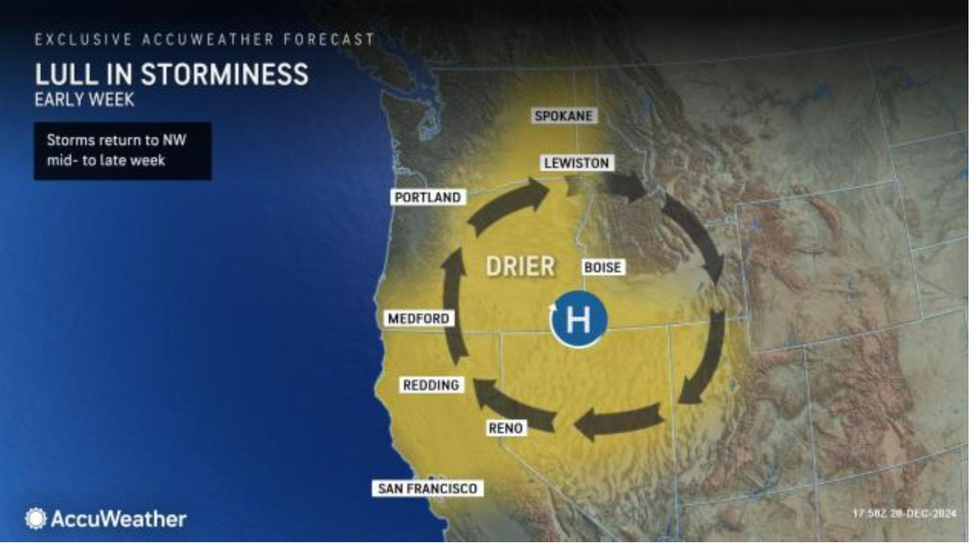
A mid-week lull will bring a calmer period to the northwest before wind and rain resume their attack.
People in warning areas are urged to avoid unessential travel and prepare for disruption to transport networks.
AccuWeather meteorologist Alyssa Glenny said: “There is enough warm and humid air to fuel multiple lines of thunderstorms, and everyone in this region needs to be prepared. Storms in this type of environment can quickly spin up tornadoes.
“Large hail and wind gusts above 60 mph can cause serious damage.
“Make sure your family knows what to do if a tornado warning is issued in your area. It’s a good idea to keep your vehicle parked in a safe place and avoid travel if possible as the storms are moving through.”