Three yellow weather warnings have been issued for Northern Ireland as the Met Office named the second storm of the season.
The first warning for snow and ice came into force at 3pm on Thursday and lasts until 10am on Friday. It covers all six counties.
The second warning for wind from the Met Office is in place between 5am and 7pm on Saturday.
A third warning for rain and snow is in force from 12am and 11am, also on Saturday.
Saturday’s warnings come as Storm Bert has been forecast to bring snow, rain and strong winds to parts of the UK this weekend.
Storm Bert is set to impact all of Northern Ireland with gusts of 70mph predicted.
Have a look at types of precipitation expected over the next few days here:
Storm Bert is set to impact all of Northern Ireland with gusts of 70mph predicted.
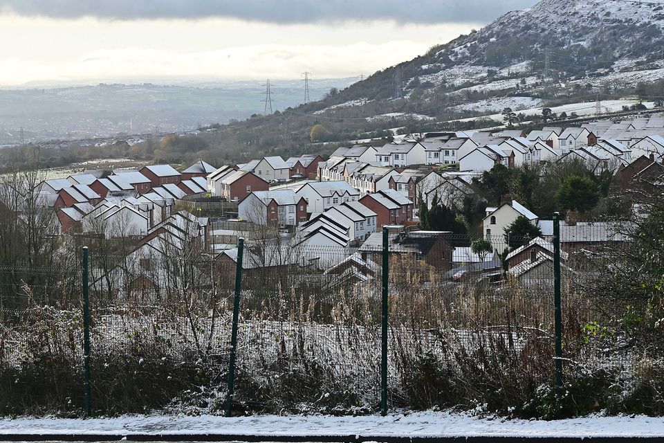
It comes after Northern Ireland saw icy conditions and snow showers early on Thursday, and earlier this week.
The Met Office said Thursday and Friday’s snow and ice warning could see icy patches develop on untreated roads, while journey times could take longer.
Watch: Snow arrives in Northern Ireland as temperatures fall below 0
Pedestrians have also been warned to be careful on footpaths as injuries could occur from slips and falls on the ice.
Showers are also expected to fall as snow over higher ground.
Saturday’s wind warning could also result in delays to road, rail, air and ferry transport, while coastal towns may be affected by large waves.
Short term loss of power is also possible, warned the Met Office.
A spokesperson for the meteorological service said: “A period of strong southeasterly winds is likely for a time on Saturday, with peak gusts of 50-60mph in many parts of the warning area, but 60-70mph in some coastal areas and also locally to the lee (northwest) of high ground, and perhaps in excess of 70mph along some exposed coasts of Northern Ireland and western Scotland.”
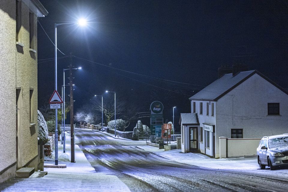
Carrickmore covered in snow on November 20th 2024 (Photo by Kevin Scott)
Commenting on Saturday’s rain and snow warning, it added: “Outbreaks of rain on Friday night and into Saturday morning may be preceded by a spell of snow for a time, especially on high ground in northern and western areas.
“Exactly where snow falls will depend quite heavily on both elevation and the intensity of precipitation, with any snow accumulations at low levels likely small and fairly short-lived.
“However, there is the chance of temporary accumulations of 5-10cm on ground typically above 150m and perhaps as much as 10-20 cm over mountain tops.
“Any snow will quickly revert to rain on Saturday morning, with rain accumulations of 20-30mm likely fairly widely, and perhaps as much as 40-60mm on more exposed hills.
“This, in conjunction with a rapid thaw of any lying snow, may cause some surface water and river flooding.”
Read more
Meanwhile, NI Water is calling on householders and businesses to be prepared for the weather warnings by ensuring their water pipes are protected.
When temperatures drop below zero over a prolonged period of time, water in pipes can freeze and expand, and when temperatures rise and the frozen water starts to thaw the pipes contract which causes them to crack or burst.
Maynard Cousley, water supply senior manager with NI Water, said: “It’s good to be prepared for the potential impact this may have by making sure to wrap up your pipes and water tanks with lagging which can be purchased in DIY stores.
“Fix any dripping taps as even a few small droplets can result in a frozen pipe. And remember to find your property’s stop tap and make sure you know how to turn it off – most can be found under the kitchen sink.
“Outdoor taps can often be overlooked in winter. A frozen outdoor tap can be frustrating if you were wanting to wash the car or fill the dog bowl but can also cause more serious damage if the pipe bursts and causes a joint inside your property to come apart and leak. An insulating tap cover is a simple and effective way to protect them.
“If you experience any bursts, turn your stop valve off and contact a plumber – your nearest accredited plumbing business can be found online at www.watersafe.org.uk.”

