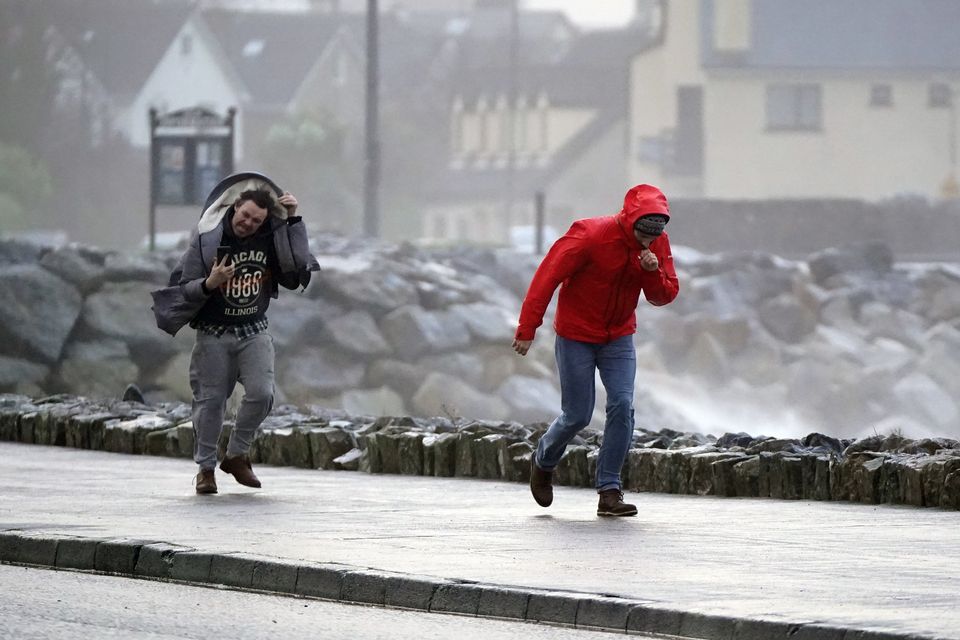
A new yellow warning for wind has been issued as Northern Ireland is braced for the arrival of the first named storm of 2025.
The Met Office said the new warning would come into force from midnight on Friday and last throughout the day.
A previous warning covering the whole of the country was also in place until 12pm on Saturday.
It comes as the Met Office warned of an incoming “weather bomb” for the end of the week and forecasters named the storm set to batter the UK.
A storm called Eowyn will bring strong winds across the UK on Friday and into Saturday, the Met Office has confirmed.
The forecaster said the winds, caused by low pressure, will lead to disruption such as damage to buildings, power cuts and flying debris which could threaten lives.
It also will cause disruption to travel, with road, rail, airports and ferries likely to be affected.
The storm is the first named storm of 2025.
A Met Office spokesperson said: “Storm Éowyn is expected to pass close to or across the northwest of the UK on Friday before clearing to the northeast on Saturday.
“Whilst there is some uncertainty in the track of Éowyn, a spell of very strong winds is likely, initially southeasterly before turning westerly, with peak gusts of 60-70 mph inland and 80-90 mph along some coasts and hills (perhaps even higher in a few locations).”
Meanwhile, according to forecasters, Tuesday will be a mostly dull and cloudy day remaining largely dry with some bright or sunny spells developing, before a few showers push into the west later.
Maximum daytime temperatures will reach 8C, dropping to a minimum of 0C overnight with some fog developing.
Wednesday will be a dry day with variable amounts of cloud and bright spells in the east.
The odd shower is expected in the west with some light winds.
It is also expected to feel a little colder than today, the maximum temperature for Wednesday will be 7C.
Thursday and Friday will bring some rain and wintry conditions with some strong winds developing towards the weekend.
It comes as a “weather bomb” is set to bring strong winds, heavy rain and some snow when it reaches the UK later this week.
‘Weather bomb’ to sweep strong winds and heavy rain across UK this weekend
A “weather bomb” occurs when central pressure inside of a larger low pressure system falls at a rapid rate over 24 hours, creating a peak of violent winds that are strong enough to bring down trees and cause structural damage, according to the Met Office.
In a statement, the Met Office said: “A deep area of low pressure is expected to pass close to or across the northwest of the UK on Friday and Saturday.
“It will bring a spell of very strong southeasterly to southwesterly winds with gusts reaching 50-60 mph inland and 70-80 mph along coasts (and perhaps higher than this in a few locations). The wind strength will gradually ease through Saturday from the south.”
The forecaster warned that the wind will also be accompanied by heavy rain bringing some unpleasant conditions to end the week.
The Met Office added that the conditions may bring some delays to road, rail, air and ferry services, with longer journey times and cancellations possible.
