One of the last surviving nuclear bunkers in the UK is set for a new lease of life as an historic archive.
The building, known as the Northern Ireland Regional War Room, is nestled among houses in a quiet neighbourhood in the Malone Road area of south Belfast.
It was one of 13 built across the UK in 1952 to co ordinate civil defence in the event of a nuclear attack at the height of the Cold War, designed to house 45 people, including the leaders of the emergency services.
However it was never required, and now it is planned that the thick walls and stable environment will see it become a safe place to store the Historic Environment Record of Northern Ireland (HERoNI) in around a years’ time.
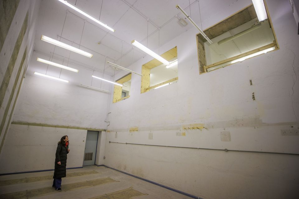
Naoimh Quinn, senior architect with Department of Communities (DfC) Historic Environment Division (HED), in the Disused Northern Ireland Regional War Room at Mount Eden Park bunker a former nuclear bunker in south Belfast is to reopen as facility for historic records. Picture date: Monday December 23, 2024. PA Photo. See PA story ULSTER Bunker. Photo credit should read: Liam McBurney/PA Wire
These will include databases, written records, maps, photographic, drawn and digital material covering all aspects of heritage including archaeological sites. historic buildings, industrial heritage, defence heritage and battlefield sites.
The B1 listed war rooms themselves are just one of 4,500 defence sites in HERoNI which have been mapped in a survey exercise in recent years.
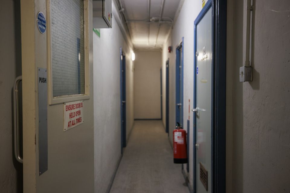
Behind the heavy doors, the facility includes a high ceilinged map room overlooked with large internal windows which would have been the hub of activity in the event of a nuclear attack co-ordinating the civil response.
Another war room was built in Co Armagh in the late 1950s before the most recent similar facility opened in Ballymena, Co Antrim in 1990. It was advertised for sale in 2016.
Naoimh Quinn from the Historic Environment Division (HED) of the Department for Communities described it as a very significant defence heritage site.
“The purpose of this building was to co ordinate civil defence so it would be the key players in terms of fire, police and solicitors in communication with similar sites across the UK in the event of a nuclear attack. It was designed to house about 45 people and be operational for short period,” she told the PA news agency.
A former nuclear bunker in south Belfast is to reopen as a facility for historic records (Liam McBurney/PA)
“Shortly after the building was completed it soon became apparent it wasn’t really fit for purpose and it was then used for training events.
“The building is reinforced concrete with 1.5m thick external walls and no windows which really makes it ideal as an archive store.
“We hope to store our historic environment record which will consist of paper and photographic material. We have been monitoring the building and the conditions of the building with thick walls provide a very stable environment for the archive.
“We’re hopeful that in the next year we’ll be able to take forward a programme of reuse for this asset and give it a new future for the next generation, and house our precious record.”
Emma McBride, a senior archaeologist from the HED, said the bunker is one of more than 4,500 defence heritage sites mapped as part of a recent survey programme.
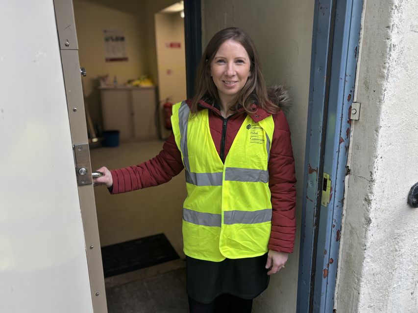
Emma McBride, an Archaeological Inspector at the Historic Environment Division in the Department for Communities at the door of the former nuclear bunker in south Belfast which is set to become a new storage facility for historic records. (Rebecca Black/PA)
The programme created an online map of Northern Ireland on which users can view all the defence sites as well as historic buildings, ship and aircraft wrecks and archaeological sites among others.
“They are mapped and available on our Historic Environment map viewer where the public can go to areas within their localities and see what sites they have, and then they can also access additional site descriptions and photographs,” she said.
“We have over 45,000 heritage sites mapped. The defence heritage record forms one of these.
“It all started in 1997 as a volunteer project, and around four years ago the Department for Communities realised the record was very under represented and that we were losing some of these sites, and we commissioned a two-year survey.
“We have also taken forward a number of designations of these sites, such as this bunker which the department has listed.”
The Historic Environment map viewer can be accessed at https://www.communities-ni.gov.uk/services/historic-environment-map-viewer


