Britain is set for a “roller coaster of temperatures” as a volatile polar vortex threatens to bring dramatic weather changes throughout December, forecasters have warned.
A Netweather spokesperson explained that the jet stream will alternate between periods of meridional and zonal flow, causing temperatures to fluctuate significantly as arctic air masses move across the country.
The unstable conditions are expected to begin this week, with mild southerly winds being replaced by a colder northerly flow, before giving way to wet and windy weather.
This volatility is attributed to the tropospheric polar vortex moving back and forth over Greenland and northern Canada, affecting the position and strength of the polar front jet stream over the North Atlantic.

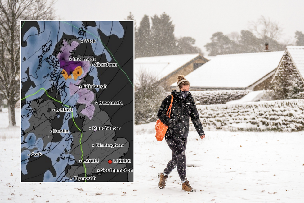
Temperatures are set to fall this month
WXCharts/Met Office/PA
Heavy snowfall is expected to hit parts of the UK as early as this weekend, with forecasters predicting up to 5cm in Scottish regions including Inverness and Wick.
The Met Office’s Deputy Chief Meteorologist, Chris Bulmer, said: “At this time it looks like the unsettled conditions will continue into the weekend with a deep low-pressure system probably crossing the UK into Saturday bringing strong winds and rain to some areas.”
North east England, including Northumberland and Cumbria, could see snowfall of around 2cm per hour from Saturday.
Temperatures are forecast to plummet to 0C in Scotland and parts of northern England, while the southeast will experience milder conditions around 5C.

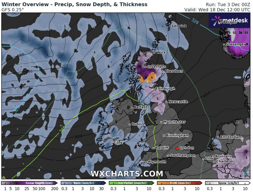
The forecast for December 18
WXCharts
The wintry spell is expected to last up to 120 hours, stretching from Saturday through to Thursday.
Mid-December is set to bring even harsher conditions, with temperatures expected to plummet to -10C in some parts of the country from December 17.
Maps from WXCharts show a huge bulge of arctic air covering much of Northern Europe and Britain, with freezing conditions reaching as far south as Cornwall and the South East.
Scotland’s Highlands will bear the brunt of the blizzard-like weather, with most places experiencing between -5C and -10C even during daylight hours.

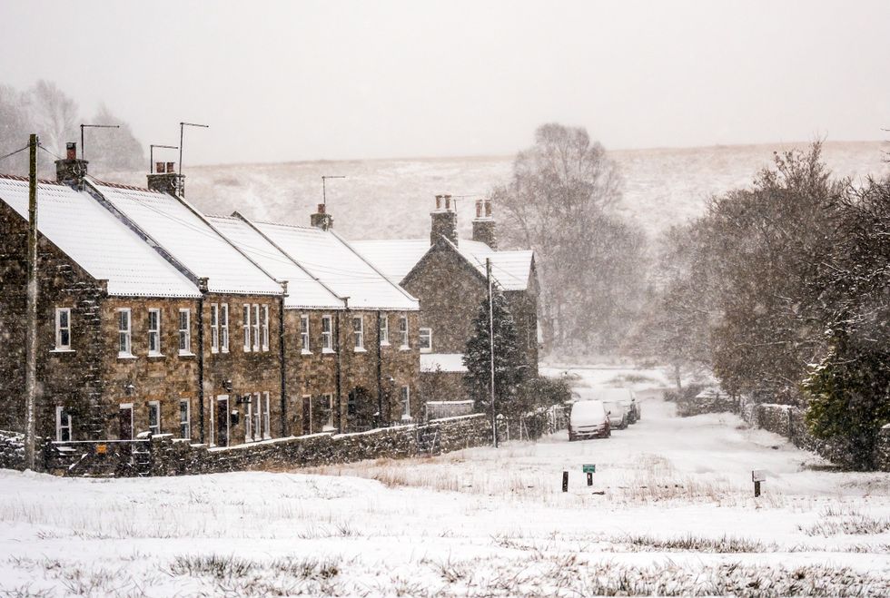
Fresh snow covers the village of Goathland in the North York Moors National Park
PA
The Met Office forecasts that the period will begin with high pressure dominance, particularly across the south, bringing relatively settled conditions initially. However, a shift to more unsettled conditions is expected, with wintry showers possible, especially on high ground.
Looking ahead to the Christmas period, the Met Office’s long-range forecast suggests there is a chance of wintry showers over the festive season and New Year. The latter part of December is expected to remain unsettled, with a series of low-pressure systems likely to pass near or over the UK.
Forecasters predict wet and windy conditions will dominate through to the Christmas period and potentially beyond to New Year.
However, there are signals that jet stream patterns may shift late in the month, potentially encouraging blocking high pressure to build either mid-North Atlantic or over Scandinavia.