The Met Office has issued yellow weather warnings for rain which may lead to travel disruption and flooding over the next two days.
The first will stretch from Plymouth and reach as far north as Manchester, covering parts of north-west and south-west England, Wales and the West Midlands.
It will be in effect from 6pm on Tuesday until midday on Wednesday, with many areas seeing around 10 to 20mm of rain. Some places may see 50 to 80cm of rain fall in six hours, according to the forecaster.
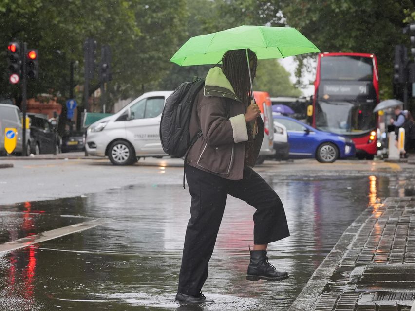
The Met Office warned spells of heavy rain could lead to travel disruption and flooding in places (Jonathan Brady/PA)
Areas of heavy rain are expected to develop and push north across the warning area. Rain will develop in south-west England late afternoon, before becoming heavier and expanding north on Tuesday evening and overnight into Wednesday.
The Met Office said isolated thunderstorms are also possible in the south of the warning area, with lightning an additional hazard.
A second weather warning for rain will come into effect on Wednesday in Northern Ireland from midnight to 6am across parts of County Armagh and County Down.
Rain is expected to push north across much of Northern Ireland during Tuesday evening and overnight, clearing from the south on Wednesday morning.
According to the Met Office, the heaviest rain is likely to be across south-eastern areas, where 20-30mm is likely widely. Some high ground of South Armagh and South Down, and particularly the Mournes, could see 50-80mm.
The forecaster warned spells of heavy rain could lead to travel disruption and flooding in places.
There is also a slight chance of power cuts and a small chance that some communities could be cut off temporarily by flooded roads.
Residents have been advised to check if their properties could be at risk of flooding and, if so, to consider preparing a flood plan and emergency flood kit.